|
| *****SWAAG_ID***** | 841 |
| Date Entered | 16/12/2014 |
| Updated on | 01/01/2015 |
| Recorded by | Tim Laurie |
| Category | Burial Mounds and Cairns |
| Record Type | Archaeology |
| Site Access | Army Range |
| Record Date | 15/12/2014 |
| Location | Ellerton Moor. Juniper Gill. |
| Civil Parish | Ellerton Abbey |
| Brit. National Grid | SE 0700 9600 |
| Altitude | 350m |
| Geology | Glacial drift over Namurian chert strata above the Main Limestone. |
| Record Name | Juniper Gill revisited. Round Cairn, cairnfield settlement and coaxial field system complex. |
| Record Description | Following an extensive moorland blaze which has revealed the extensive remains of the Bronze Age Settlement Complex recorded previously as SWAAG Records 392, 393 and 394 which were previously masked in thick heather, the area was visited by three representative members of SWAAG in company with Phil Abramson, Defence Estates Archaeologist, as a reconnaissance preliminary to detailed GPS survey to record the remains exposed by the fire and the remaining area of the Bronze Age Cairnfield Settlement Complex (this GPS Survey is to be carried out by Stephen Eastmead with Tim Laurie preparing the supporting Gazetteer on behalf of SWAAG). These settlement remains are at an exposed location at 360m AOD on the high moorland spur above the western side of Juniper Gill. The wider survey of the as yet unrecorded but similar prehistoric landscape and also the very extensive and interesting Mining Remains on Ellerton Moor and on Stainton Moor will be completed in due course by T.C.L in his capacity as Archaeological Advisor on the CTA Conservation Group, working in collaboration with Stephen Eastmead and other members of SWAAG .
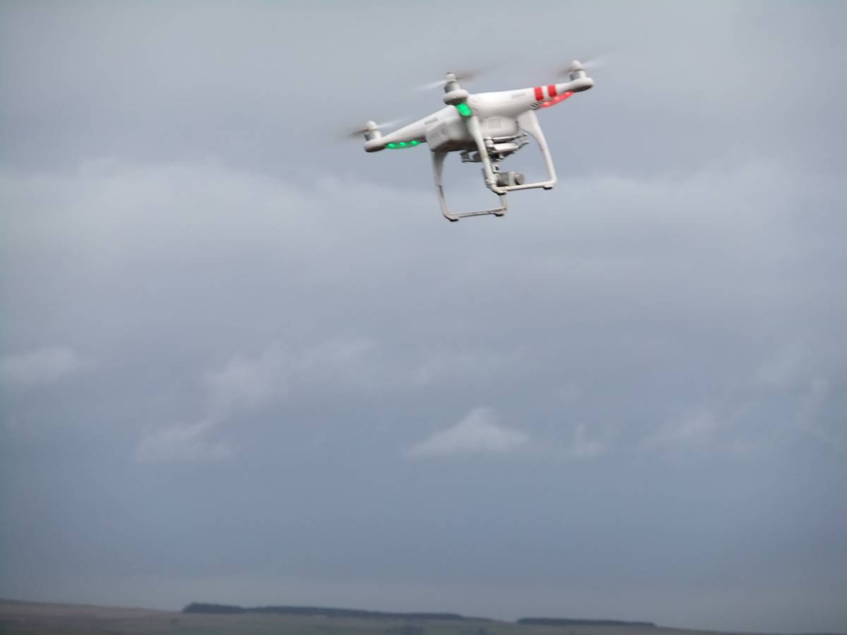
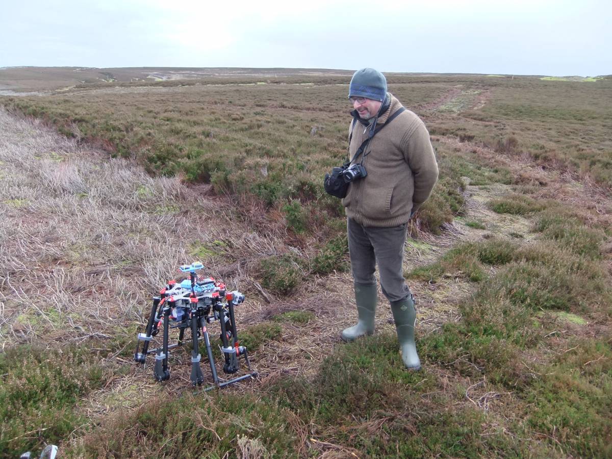
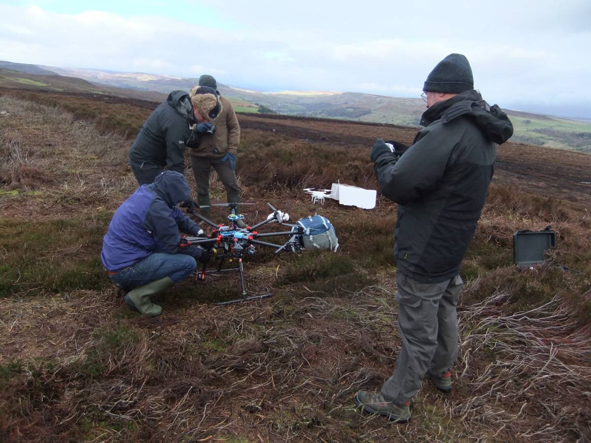
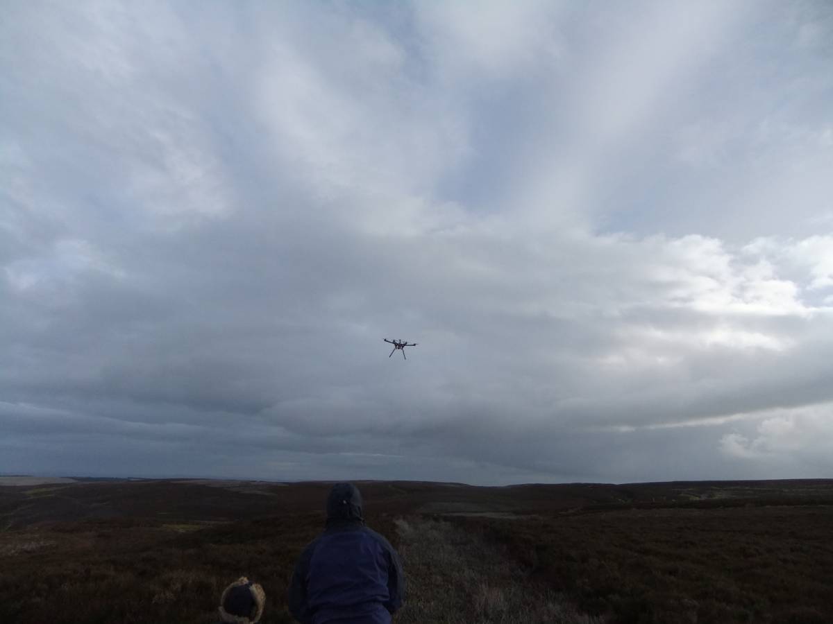
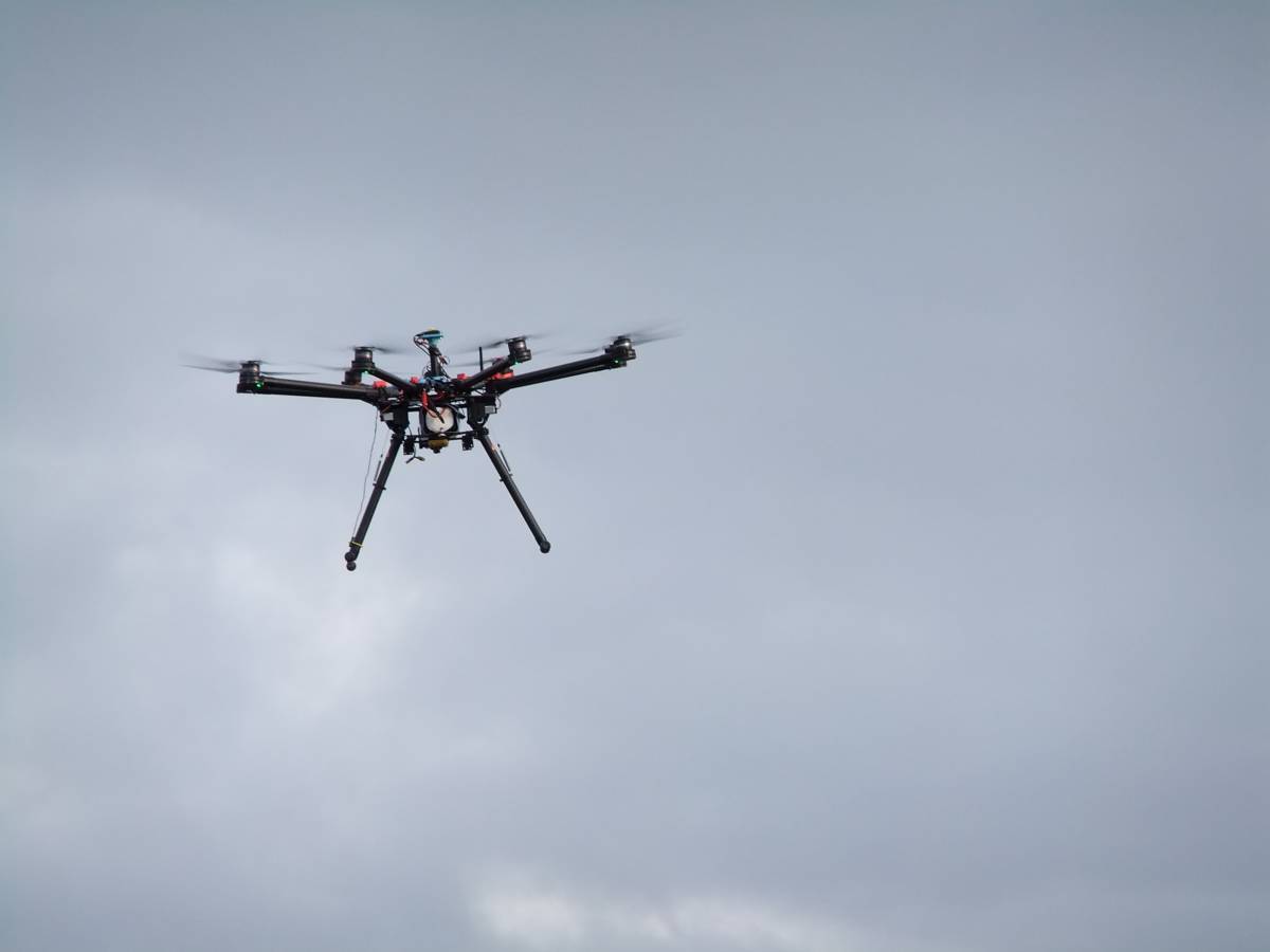
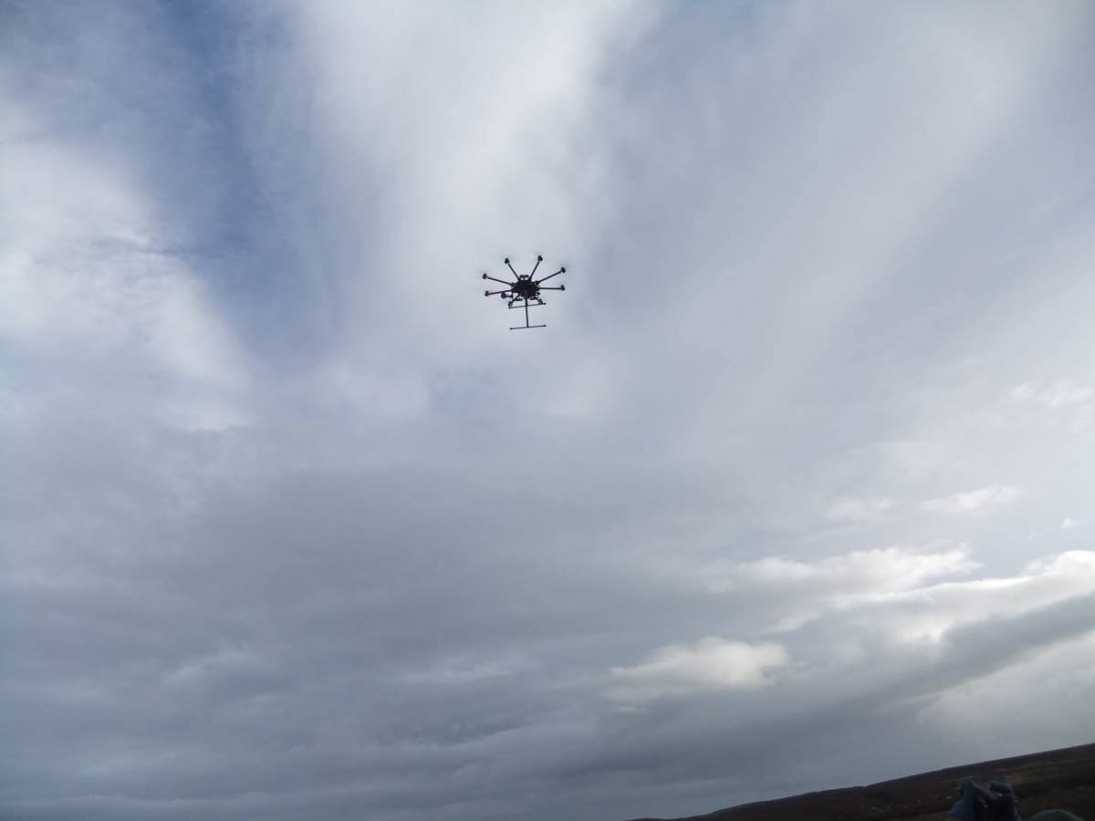
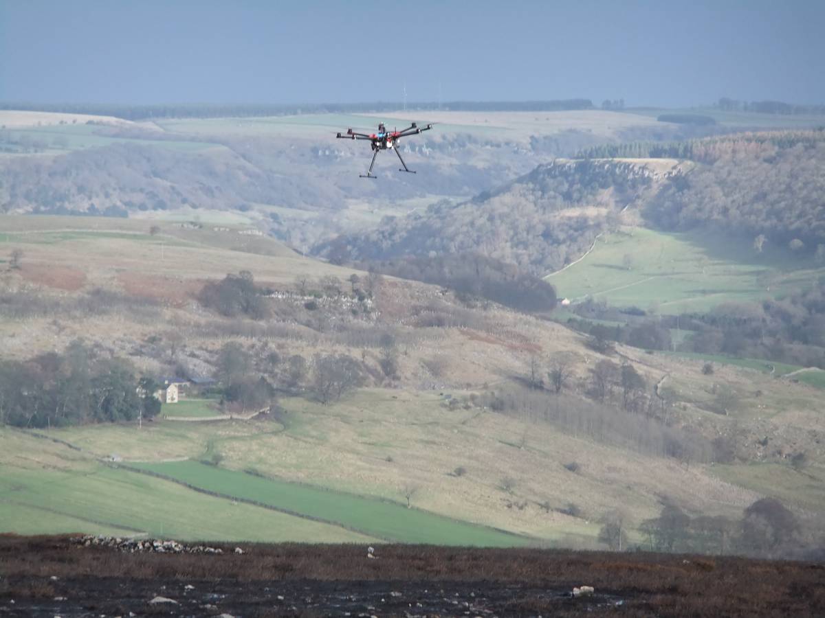
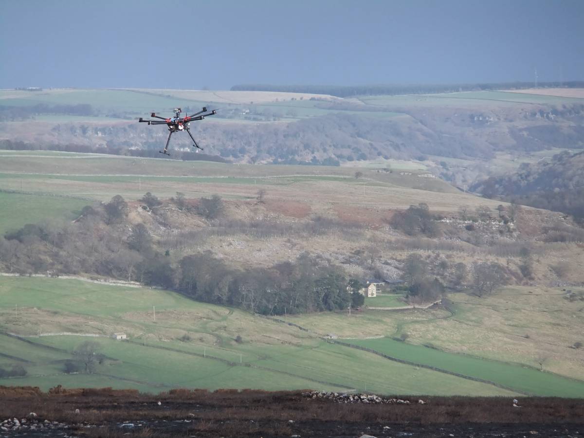
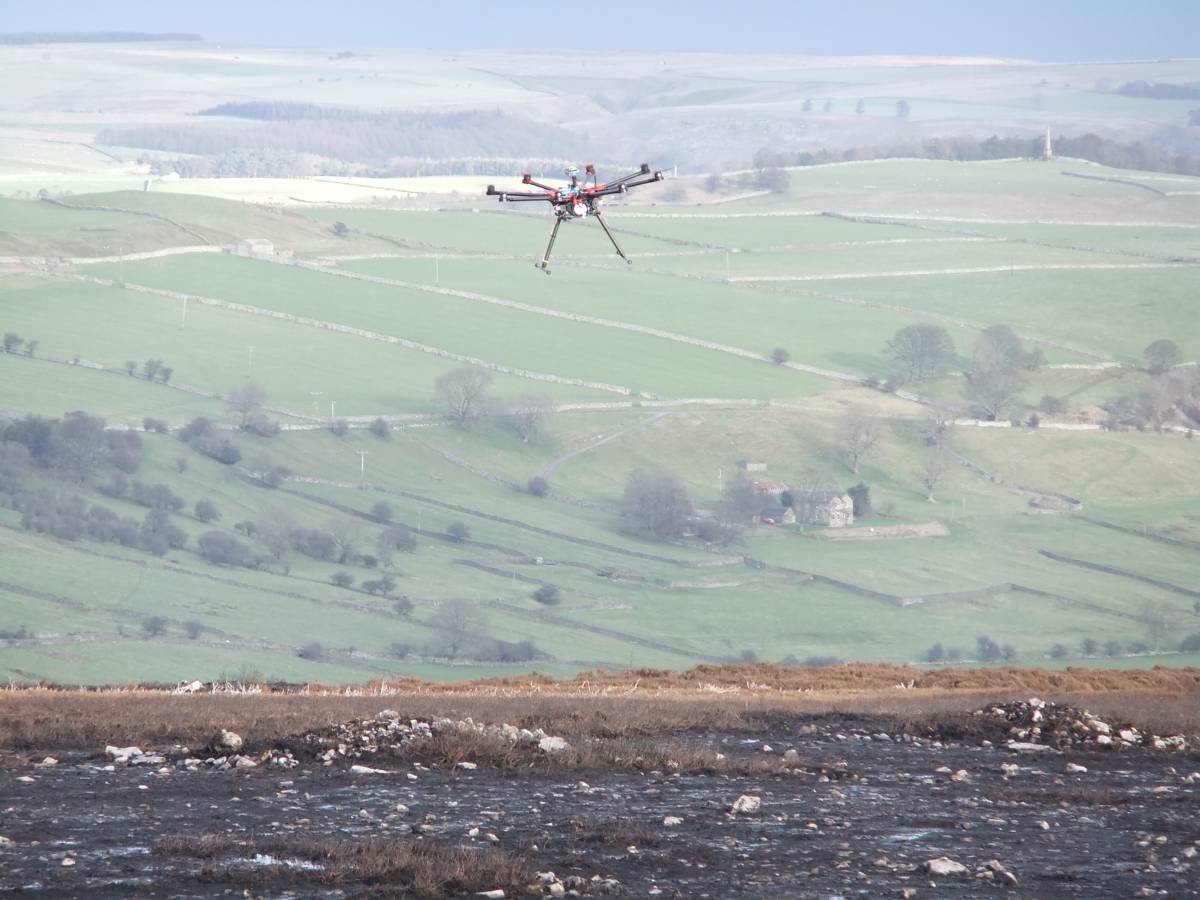
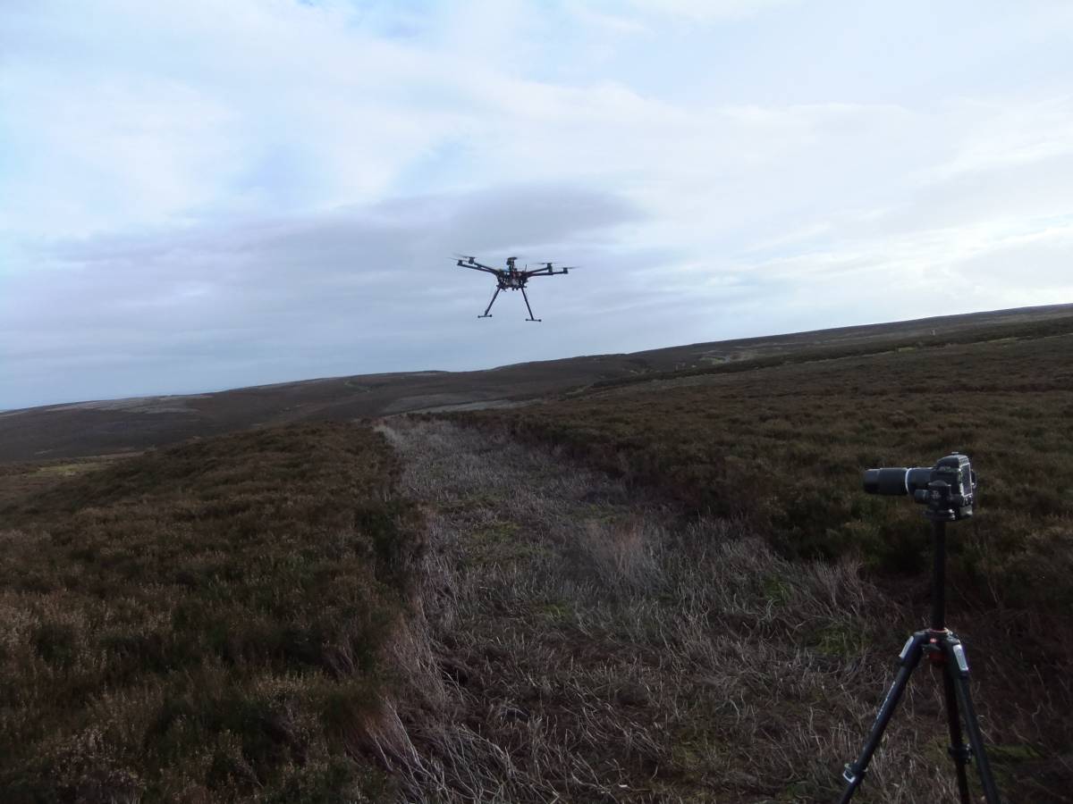
On 15th January the purpose of the visit was to obtain an aerial photographic view of these settlement remains by use of an advance prototype 'octocoptic' drone, ie a small flying bedstead apparatus with eight propellers designed and operated by University of Leeds researchers, see photos.
|
| Dimensions | See photos |
| Additional Notes | Following the onset of rain and departure of the Flying Bedstead Pilots and Phil Abramson, A walk over the site confirmed that the burnt area of cairnfield and unenclosed round house settlement together with the associate coaxial field boundary system was more extensive and many more cairns were recognised than originally recorded by myself when the site was masked by thick heather more than twenty years ago, See SWAAG Records Nos 392,393 and 394. |
| Image 1 ID | 5912 Click image to enlarge |
| Image 1 Description | Where is the thing? | 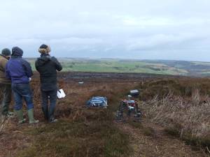 |
| Image 2 ID | 5913 Click image to enlarge |
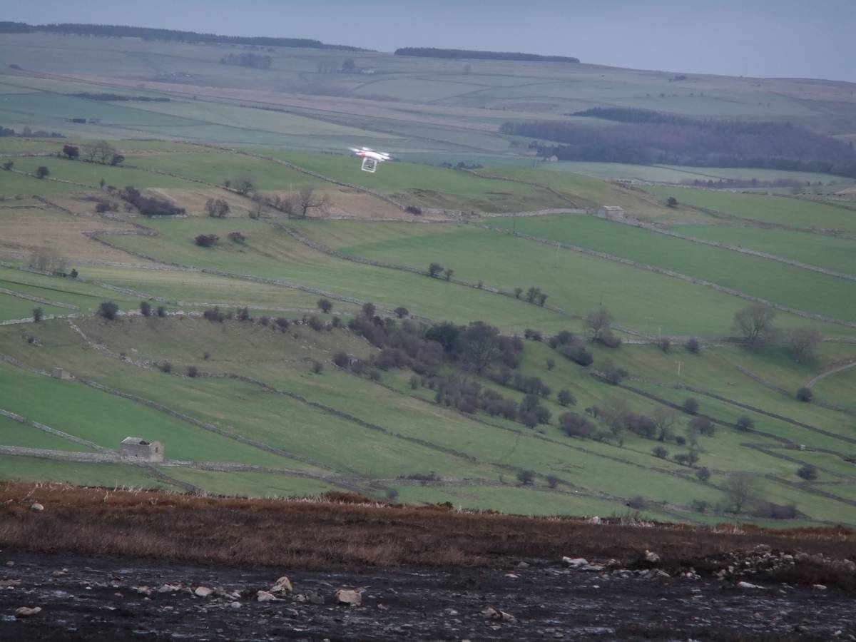
| Image 2 Description | It is just a pretty toy but it lurks buzzing above bronze age cairns only half a mile away |  |
| Image 3 ID | 5914 Click image to enlarge |
| Image 3 Description | On instructions from its master it flies back obediently. |  |
| Image 4 ID | 5915 Click image to enlarge |
| Image 4 Description | Good catch, the little thing returns to its masters hand. | 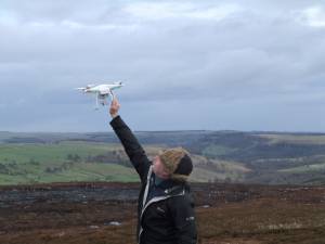 |
| Image 5 ID | 5916 Click image to enlarge |
| Image 5 Description | Phil gazes in astonishment at the real thing which waits its orders. |  |
| Image 6 ID | 5917 Click image to enlarge |
| Image 6 Description | All eight propellers unfolded and almost ready to fly. | 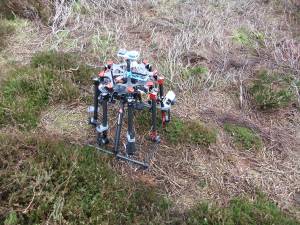 |
| Image 7 ID | 5918 Click image to enlarge |
| Image 7 Description | The beast is assembled ... |  |
| Image 8 ID | 5919 Click image to enlarge |
| Image 8 Description | ... to be given the kiss of computered life and brought into action. | 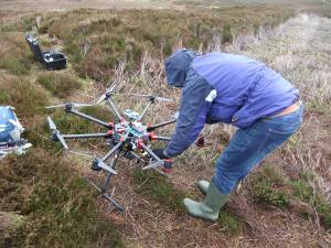 |
| Image 9 ID | 5920 Click image to enlarge |
| Image 9 Description | Away it flies |  |
| Image 10 ID | 5921 Click image to enlarge |
| Image 10 Description | On Mission into the wild blue yonder |  |
| Image 11 ID | 5966 Click image to enlarge |
| Image 11 Description | Ellerton Moor. Original Survey (TCL 1994 unpublished) of main sites eastward from the western limit of the Army Ranges at Hags Gill, including features then visible in thick heather at Juniper Gill including 20 cairns, several ring cairns and the standing stone at Juniper Gill. | 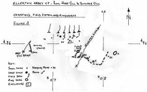 |
| Image 12 ID | 5967 Click image to enlarge |
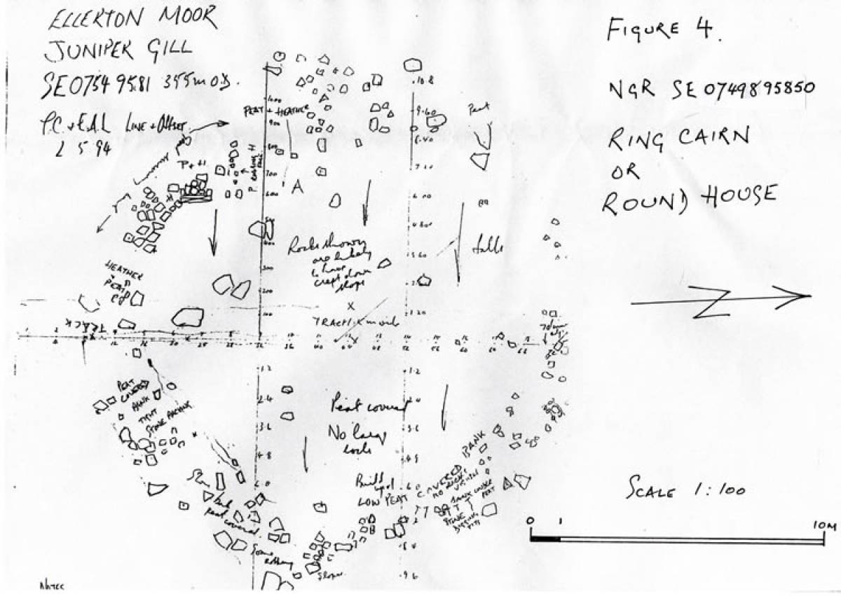
| Image 12 Description | Line and offset plan (TCL pre- 1994, unpublished) of the Ring Cairn on the western edge of Juniper Gill, subsequently designated a Scheduled Monument under the Monuments Protection Scheme. | 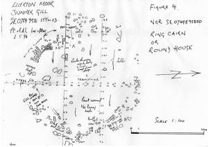 |
| Image 13 ID | 5968 Click image to enlarge |
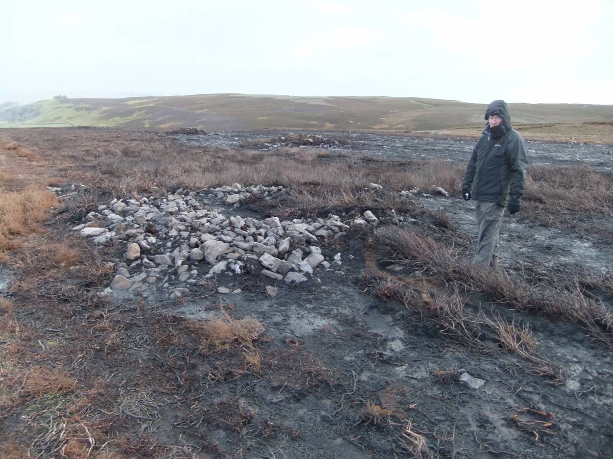
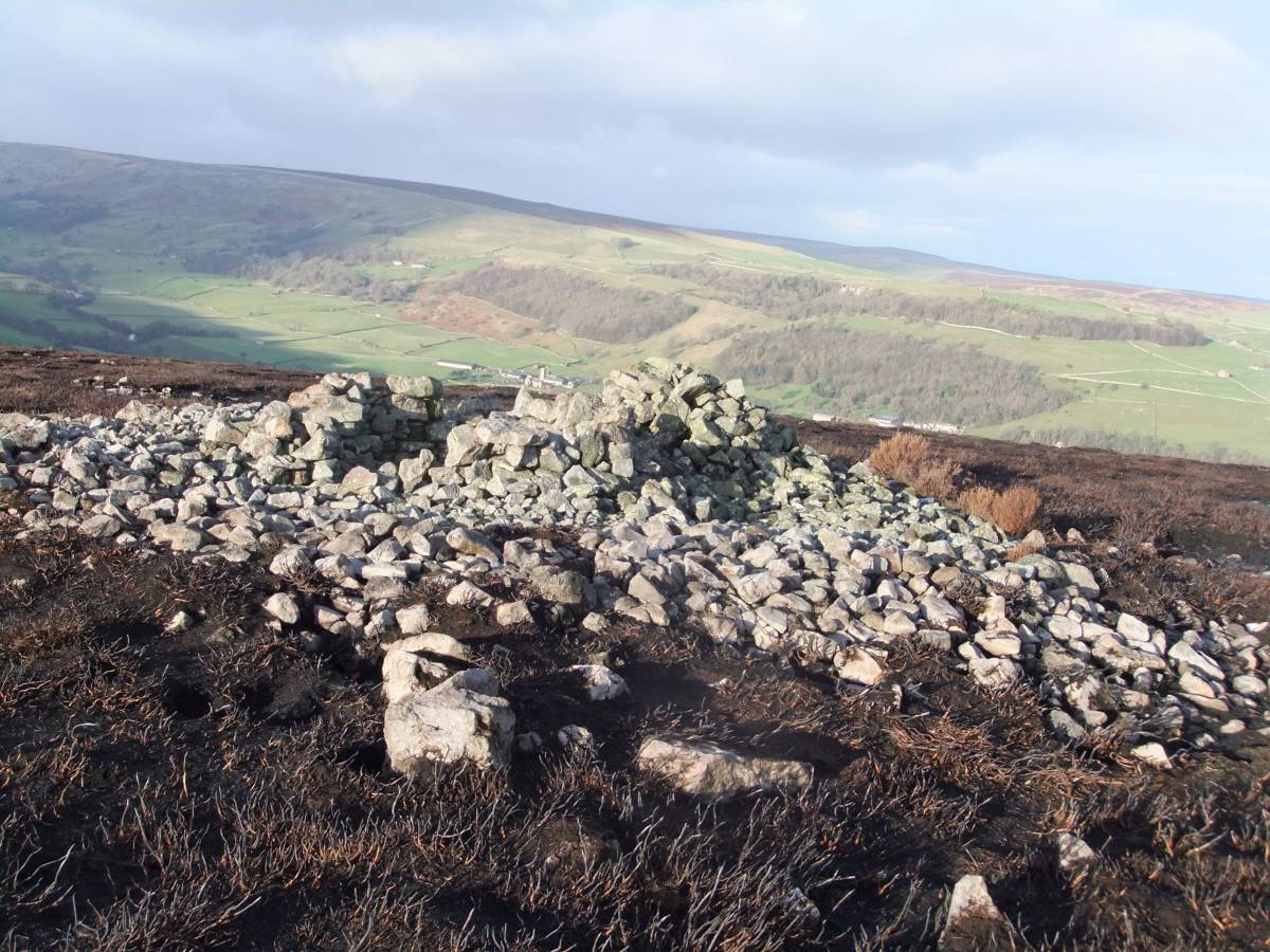
| Image 13 Description | Small ring cairn revealed by the recent burn. | 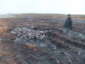 |
| Image 14 ID | 5969 Click image to enlarge |
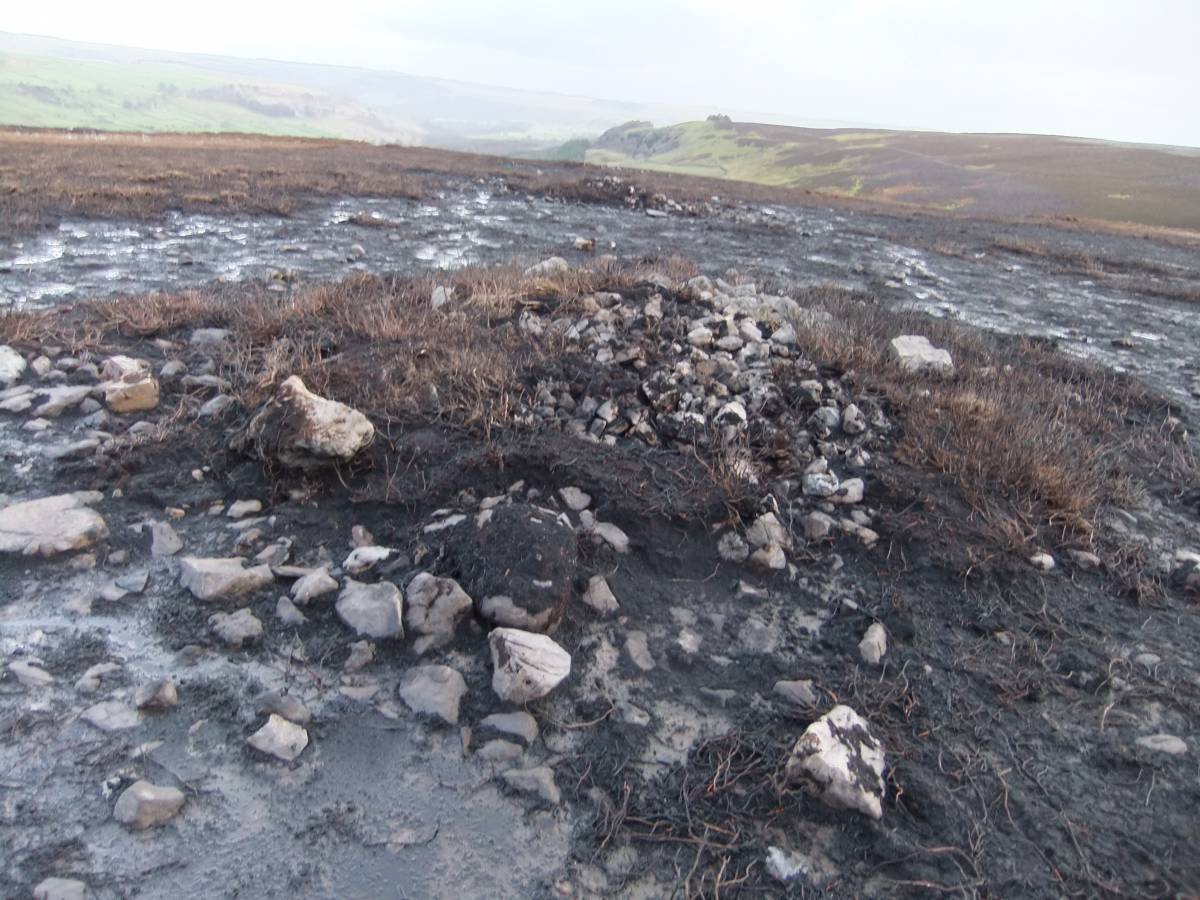
| Image 14 Description | THe same feature | 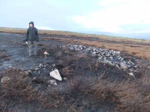 |
| Image 15 ID | 5971 Click image to enlarge |
| Image 15 Description | Three aligned stone round cairns and view eastward and down towards lower Swaledale. | 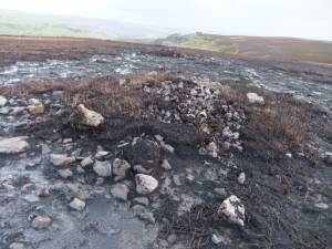 |
| Image 16 ID | 5972 Click image to enlarge |
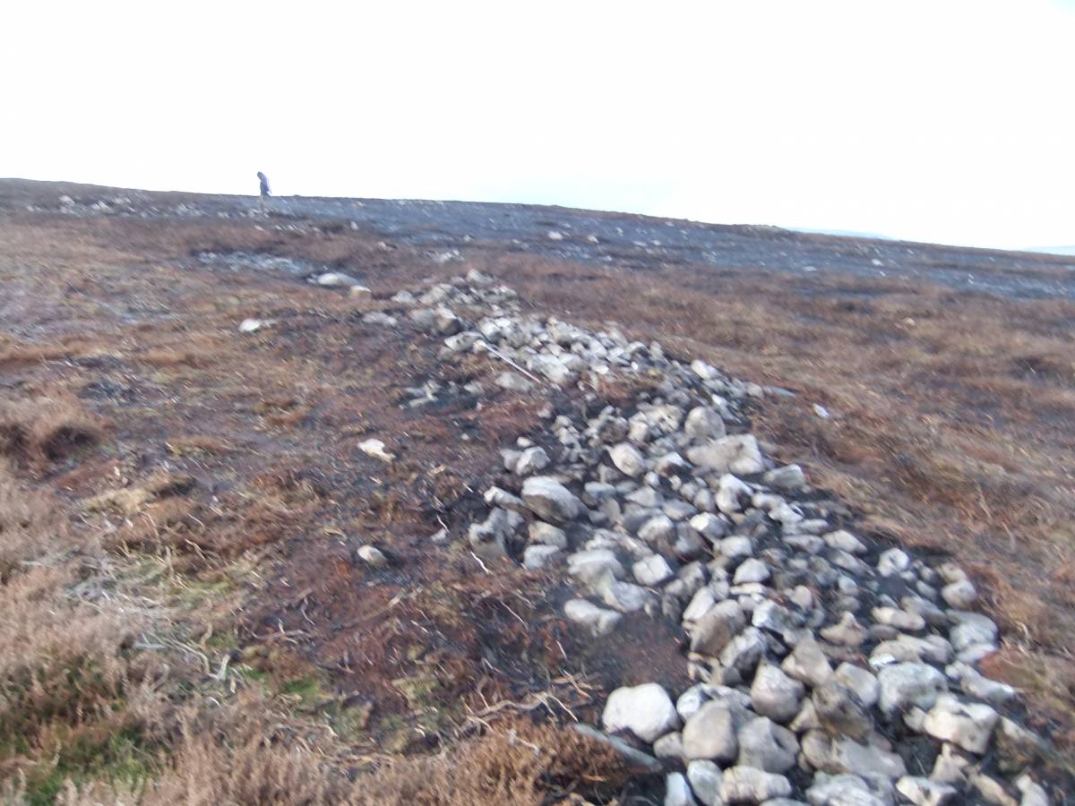
| Image 16 Description | Substantial field bank revealed by the recent burn. |  |
| Image 17 ID | 5973 Click image to enlarge |
| Image 17 Description | Possible offset entrance through the same field bank. | 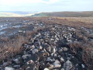 |
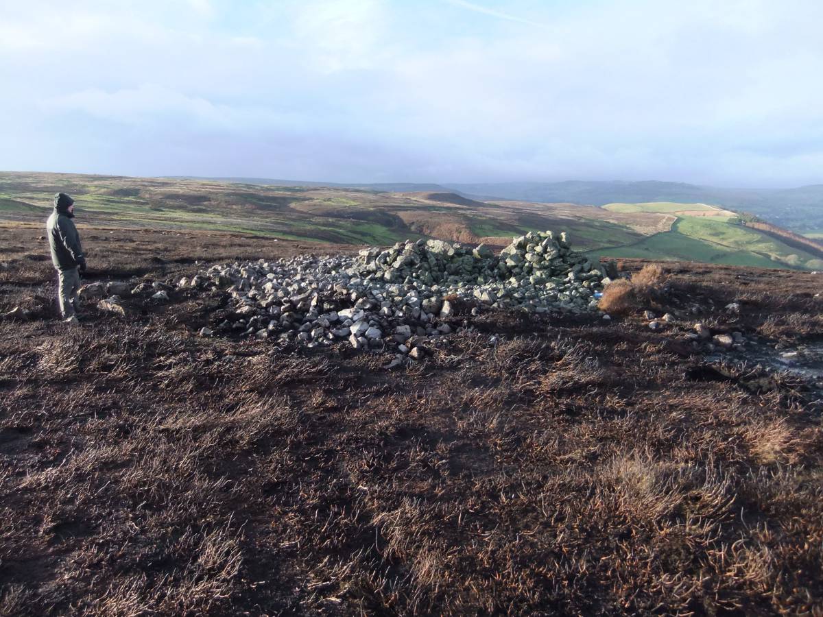
| Image 18 ID | 5974 Click image to enlarge |
| Image 18 Description | Very large round cairn located on the edge of the escarpment at the point where a clear view first becomes possible north-westward through Arkengarthdale and across Stainmore towards the Vale of Eden. | 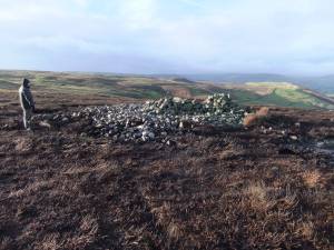 |
| Image 19 ID | 5975 Click image to enlarge |
| Image 19 Description | The same cairn. This cairn was constructed over several radial stone banks which protrude beyond the perimeter of the cairn. This feature has been noted at several similar cairns elsewhere in the Pennine Uplands. | 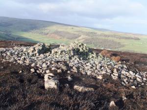 |
| Image 20 ID | 5976 Click image to enlarge |
| Image 20 Description | Octocopter on mission | 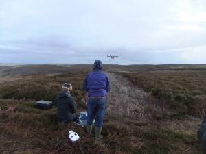 |
| Image 21 ID | 5977 Click image to enlarge |
| Image 21 Description | Octocopter on mission | 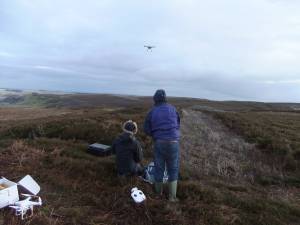 |
| Image 22 ID | 5978 Click image to enlarge |
| Image 22 Description | Octocopter on mission |  |
| Image 23 ID | 5979 Click image to enlarge |
| Image 23 Description | Octocopter on mission | 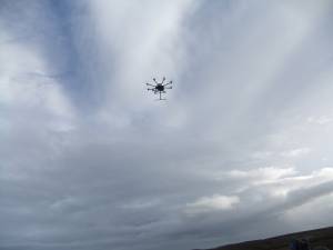 |
| Image 24 ID | 5980 Click image to enlarge |
| Image 24 Description | Octocopter on mission | 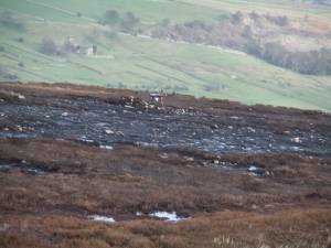 |
| Image 25 ID | 5981 Click image to enlarge |
| Image 25 Description | Octocopter on mission | 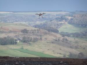 |
| Image 26 ID | 5982 Click image to enlarge |
| Image 26 Description | Octocopter on mission | 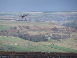 |
| Image 27 ID | 5983 Click image to enlarge |
| Image 27 Description | Octocopter on mission | 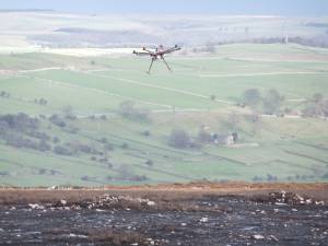 |
| Image 28 ID | 5984 Click image to enlarge |
| Image 28 Description | Octocopter on mission |  |
| Image 29 ID | 5985 Click image to enlarge |
| Image 29 Description | Mission complete! | 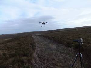 |